

Formulaire de contact
Contact Us
Buying, selling, or building a property in Laval often hinges on accurate, up-to-date boundary documentation that protects everyone involved in the transaction. Benoît Péloquin Arpenteur-géomètre brings more than 30 years of surveying experience across Montreal and its suburbs to every certificate of location, staking, and boundary determination file we open. When you need a reliable land surveyor in Laval, our team combines OAGQ-recognized expertise with responsive service to keep your closing date or construction timeline on track.
Request your certificate of location today
What Is a Certificate of Location and Why Do You Need One in Laval?
A certificate of location is a legal document that confirms exactly where your building, additions, and boundary lines sit in relation to municipal bylaws and neighbouring properties. Lenders, notaries, and buyers typically require this document before a real estate transaction can close, since only a land surveyor is authorized to carry out cadastral operations and produce it. Ordering a certificate of location in Laval from a land surveyor in Laval who understands local zoning requirements gives you documentation that notaries and municipal offices will accept without delay.
How Laval's Growth and Rezoning Affect Property Boundaries
As Laval continues to grow and update its zoning bylaws, older lot lines and setbacks are being reassessed more frequently than before. A thorough property boundary survey in Laval
confirms where your legal limits actually fall, which matters when a municipal inspector or a future buyer questions a fence, addition, or subdivided lot. Working with a land surveyor in Laval
who tracks these zoning updates helps you avoid costly surprises, and our certificate of location process
keeps every measurement aligned with current bylaws.
Do You Provide Surveying Services in Laval Neighbourhoods Like Sainte-Dorothée or Chomedey?
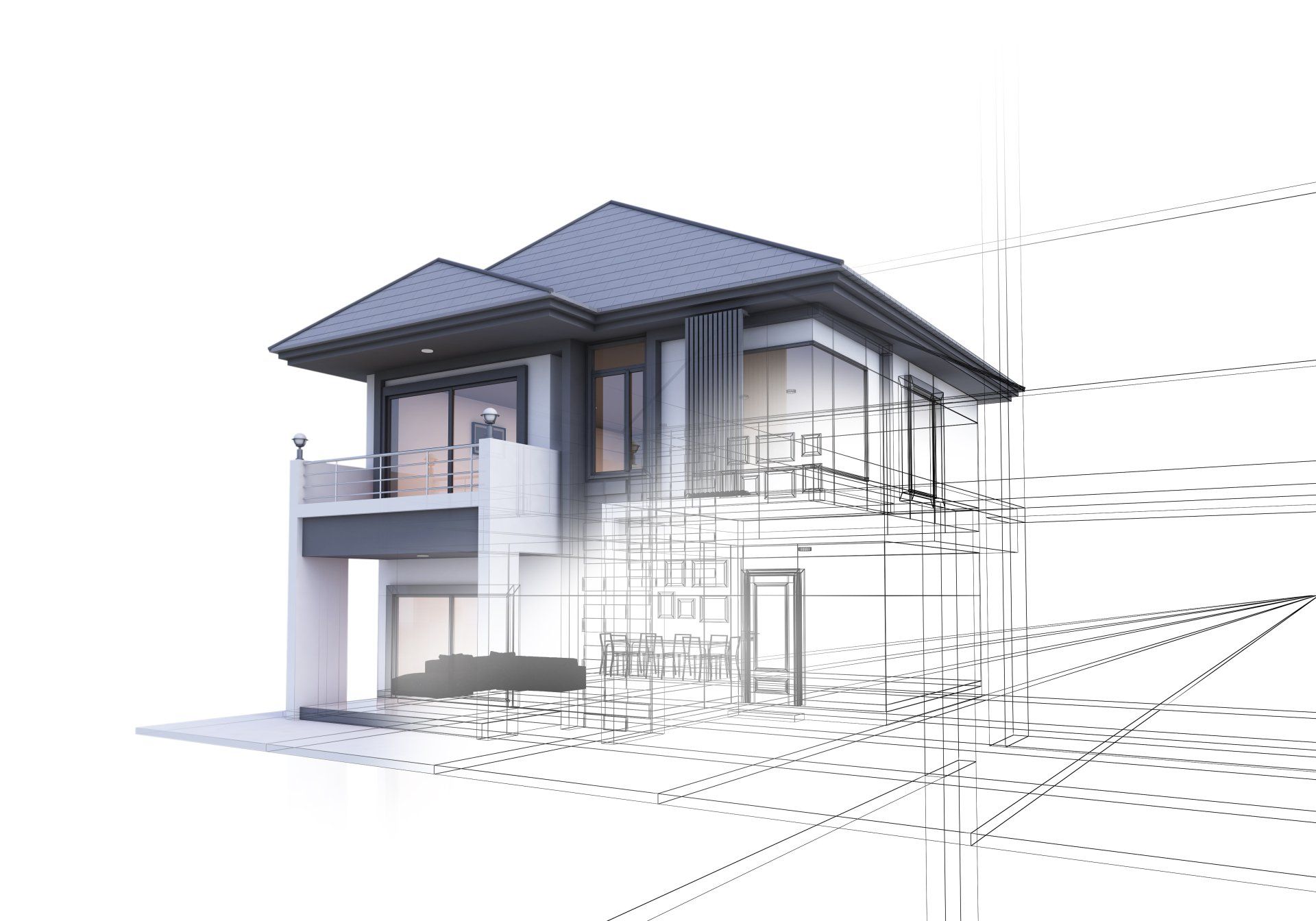
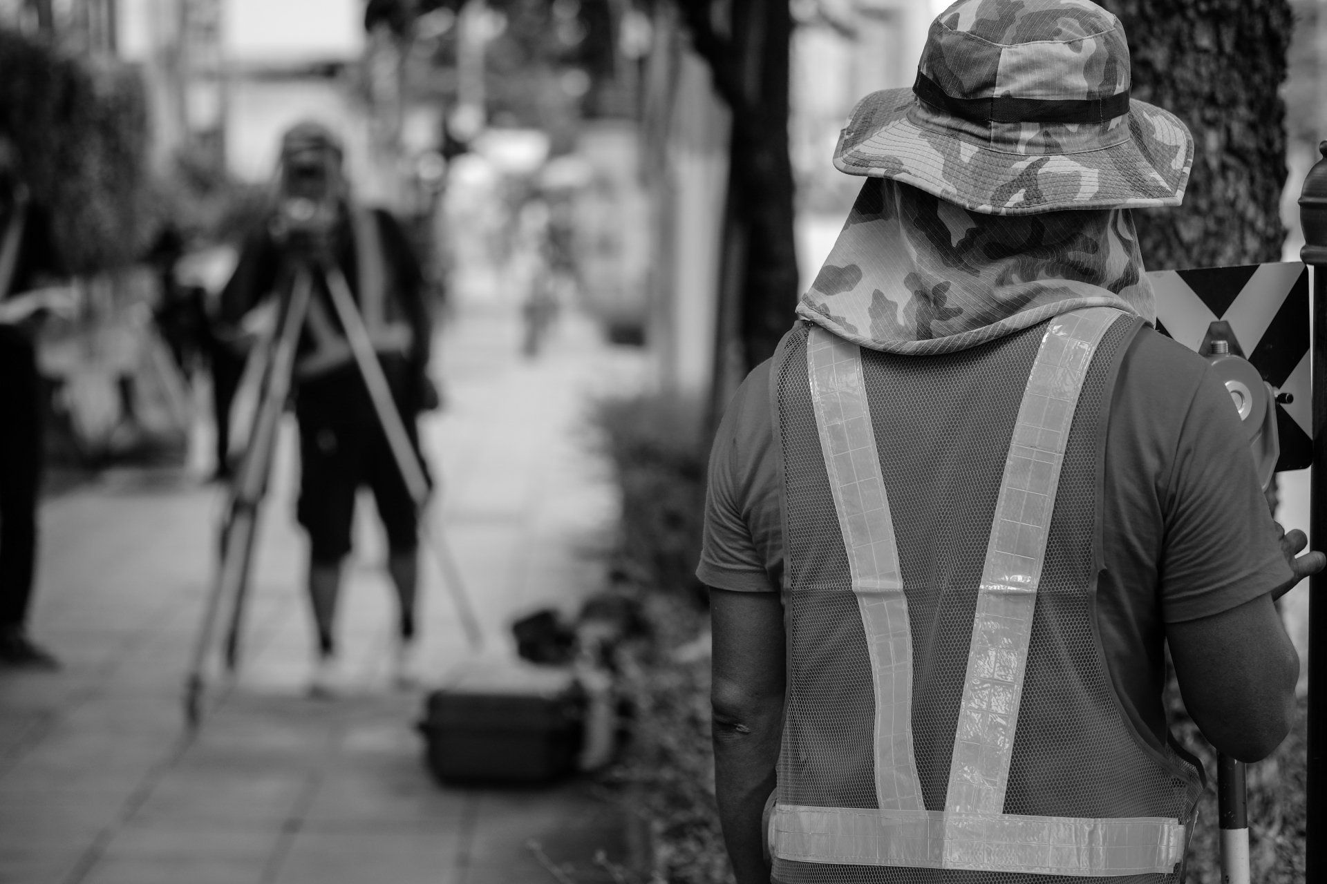
Yes, our surveying team responds to requests throughout Laval's varied neighbourhoods, from established sectors like Chomedey and Duvernay to newer developments in areas like Sainte-Dorothée. Before pouring foundations or building an addition, construction staking in Laval establishes precise reference points so contractors build within the boundaries approved by the city. As a land surveyor in Laval with decades of regional experience, we also offer a full breakdown of our staking and boundary determination process for anyone planning new construction.
Schedule your boundary survey with our team
Land Surveyor Laval: Core Surveying Services for Your Property
Every file we open reflects the same standard of precision, whether it involves a single-family lot or a multi-unit development. Since 1991, our office has grown to eight collaborators who bring OAGQ-recognized rigour to each land surveyor in Laval
request, and we welcome the chance to review your specific situation. Reach out through our contact page
and a member of our team will confirm the next available appointment.From a straightforward staking request to a full cadastral operation, our range of services covers the surveying needs that come up throughout a property's lifecycle. Here is what our team regularly handles for clients across the region.
Certificate of location: We prepare updated certificates required by notaries and lenders before a real estate transaction closes.
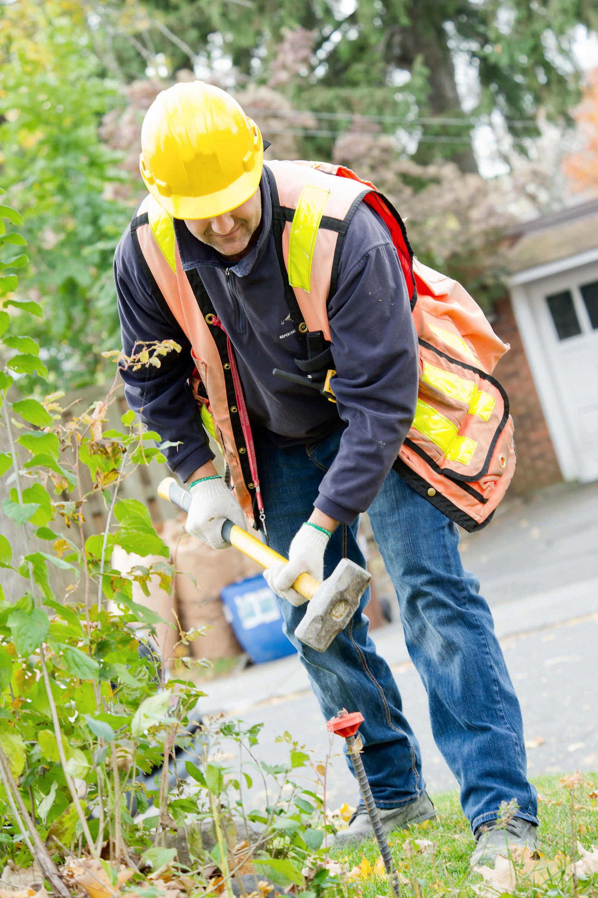
Staking and boundary marking: We mark property corners and establish legal boundary lines to resolve disputes or confirm limits before construction.
Building implantation: We stake foundation reference points so contractors position new structures exactly where municipal permits allow.
LiDAR surveying: We use aerial and ground-based 3D laser scanning to capture precise volumetry and contour data for complex sites.
Cadastral operations and condo plans: As licensed surveyors, we are authorized to subdivide lots, update cadastral records, and produce declaration of co-ownership plans.
Have questions about your property lines or upcoming project?